


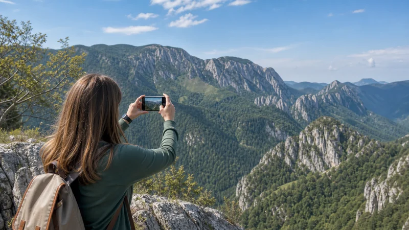

Mobile internet in Romania’s national parks is location-specific. A gateway town, road or visitor area may have service while a valley, forested trail or section behind a ridge has little or none.
Retezat, Piatra Craiului and other protected mountain areas differ in terrain, access and visitor rules. No national coverage statement can confirm reception for an entire park, and signal bars should never replace route planning or emergency preparation.
NoveSIM travel eSIMs are data-only and do not include a Romanian number, conventional calls or SMS. Internet calling and messaging work only while mobile data is available.
Quick answer: Check the exact park entrance and route on current operator maps, download a proper offline trail map and save accommodation or ranger details before leaving town. Treat remote trail sections as potentially offline even when the phone worked at the car park.
Top Romania eSIMs

Romania eSIM
Fixed
1 GB, 7 days2.50$2 GB, 15 days4.50$3 GB, 30 days5.50$Unlimited
Unlimited, 1 day2.50$Unlimited, 3 days6.00$Unlimited, 5 days9.00$
Balkans eSIM
Fixed
1 GB, 7 days5.00$2 GB, 15 days8.00$3 GB, 30 days10.50$Unlimited
Unlimited, 1 day5.50$Unlimited, 3 days12.50$Unlimited, 5 days19.50$Europe Extra eSIM
Fixed
1 GB, 7 days2.50$2 GB, 15 days4.00$3 GB, 30 days5.00$Unlimited
Unlimited, 1 day3.00$Unlimited, 3 days6.00$Unlimited, 5 days10.00$Europe+ eSIM
Fixed
1 GB, 7 days3.00$2 GB, 15 days4.50$3 GB, 30 days6.00$Unlimited
Unlimited, 1 day3.00$Unlimited, 3 days7.00$Unlimited, 5 days11.50$Europe Lite eSIM
Fixed
1 GB, 7 days2.50$2 GB, 15 days4.00$3 GB, 30 days5.00$Unlimited
Unlimited, 1 day3.00$Unlimited, 3 days6.00$Unlimited, 5 days10.00$Plan for terrain-driven signal changes
Mountain radio coverage does not follow hiking distance neatly. A ridge can expose a signal while the next valley blocks it, and forest, rock or weather can affect the practical connection. The phone may also use more battery while repeatedly searching for service.
Review the Romania eSIM coverage guide and the Romania mobile-networks guide, but treat operator maps as planning tools rather than guarantees.
Check the named park and route
| Stage | Connectivity check | Offline item |
|---|---|---|
| Gateway town | Confirm plan registration and data | Full regional map |
| Park entrance | Check official notices and weather | Route, rules and emergency details |
| Trail | Use data only when safely stopped | Navigation and planned turn-back point |
| Accommodation | Ask about the exact property signal | Coordinates and check-in instructions |
Download more than the narrow trail line. The wider map is necessary if weather, closures or a missed junction changes the route.
Use an outdoor map, not only a city-navigation app
A road-oriented map may omit trail grading, seasonal restrictions or protected-area boundaries. Use an appropriate outdoor source and check the park authority’s current notices. Keep a paper map or another independent navigation method when the route requires it.
The Romania hiking-connectivity guide covers battery and route preparation for walking days. For a multi-stop vehicle itinerary, use the Romania road-trip guide.
Protect the battery before protecting the data allowance
- Download maps and large files before entering the park.
- Carry a charged power bank and suitable cable.
- Reduce screen brightness and unnecessary background activity.
- Use Airplane Mode when a long offline section is expected, if doing so is compatible with the safety plan.
- Keep the phone protected from rain, cold and impact.
A large data plan is not useful when the phone has exhausted its battery searching for signal.
Do not use connectivity as an emergency guarantee
Tell a responsible person the route and expected return time. Follow official park rules, weather warnings and local rescue advice. A data-only travel eSIM is not a substitute for an emergency calling plan or appropriate outdoor equipment.
If a route has serious exposure or remote sections, choose preparation appropriate to that route rather than assuming that another network scan will restore service.
Set up the phone before leaving town
- Install and activate the plan according to its instructions.
- Confirm that Romania is included and mobile data works.
- Keep network selection automatic.
- Download the park map, route and current notices.
- Store the accommodation address and coordinates.
- Test offline access before starting the route.
Use the Romania eSIM installation guide while reliable WiFi is available. Do not delete the eSIM if reception disappears on a remote trail.
Related Articles
- Internet in Remote Romanian Villages
- 4G and 5G in Romania
- Mobile Data in Romania
- Best Way to Get Internet in Romania
FAQ
Is there mobile signal in Romania’s national parks?
There can be service near towns, roads or some entrances, but terrain can remove reception quickly. Check the exact route and prepare for offline sections.
Will a different Romanian network guarantee trail coverage?
No. Networks have different footprints, but no operator can guarantee continuous reception across mountain and forest terrain.
Should I download an offline map before visiting Retezat or Piatra Craiului?
Yes. Use an appropriate outdoor map and download the wider area, not only the intended trail line.
Can I depend on a travel eSIM for an emergency?
No. It is a useful data tool where coverage exists, but it does not replace an emergency plan, correct equipment or official route advice.
Final Recommendation
Prepare mobile internet for Romania’s national parks at the level of the exact route. Verify the gateway and accommodation, then assume remote sections may be offline.
Download a proper trail map, official notices and key coordinates before departure. Preserve battery power and keep automatic network selection enabled.
Use connectivity for useful updates where it exists, never as the safety system itself. Terrain, preparation and the park’s current rules remain decisive.