


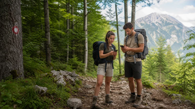

Slovenia’s hiking trails range from easy lakeside walks around Bled and Bohinj to genuinely demanding multi-day routes toward Mount Triglav’s summit, and mobile coverage varies just as widely — reliable near valleys and gateway towns, thinning or disappearing entirely at higher altitudes.
Quick answer: Lower-altitude trails around Lake Bled and Bohinj generally maintain workable coverage. Higher routes into Triglav National Park, including approaches to Mount Triglav itself, see coverage thin considerably or disappear — download offline maps and tell someone your planned route before attempting these more remote trails.
Top Slovenia eSIMs

Slovenia eSIM
Fixed
1 GB, 7 days€ 2.222 GB, 15 days€ 3.553 GB, 30 days€ 4.44Unlimited
Unlimited, 1 day€ 2.22Unlimited, 3 days€ 5.32Unlimited, 5 days€ 7.99
Balkans eSIM
Fixed
1 GB, 7 days€ 4.442 GB, 15 days€ 7.103 GB, 30 days€ 9.32Unlimited
Unlimited, 1 day€ 4.88Unlimited, 3 days€ 11.09Unlimited, 5 days€ 17.30Europe Extra eSIM
Fixed
1 GB, 7 days€ 2.222 GB, 15 days€ 3.553 GB, 30 days€ 4.44Unlimited
Unlimited, 1 day€ 2.66Unlimited, 3 days€ 5.32Unlimited, 5 days€ 8.87Europe+ eSIM
Fixed
1 GB, 7 days€ 2.662 GB, 15 days€ 3.993 GB, 30 days€ 5.32Unlimited
Unlimited, 1 day€ 2.66Unlimited, 3 days€ 6.21Unlimited, 5 days€ 10.20Europe Lite eSIM
Fixed
1 GB, 7 days€ 2.222 GB, 15 days€ 3.553 GB, 30 days€ 4.44Unlimited
Unlimited, 1 day€ 2.66Unlimited, 3 days€ 5.32Unlimited, 5 days€ 8.87Easy lakeside trails
The paths circling Lake Bled and Lake Bohinj maintain solid coverage given their proximity to established tourist infrastructure — the Lake Bled guide and Lake Bohinj guide cover these specific areas.
Moderate trails in Triglav National Park
Trails climbing partway into the park, including routes toward Savica Waterfall or shorter Alpine meadow walks, see coverage that thins gradually with altitude and distance from the valley floor.
High-altitude routes toward Mount Triglav
The multi-day routes toward Slovenia’s highest peak see minimal to no coverage for extended stretches — treat these as genuinely offline hikes, and rely on mountain huts along the way for any check-ins rather than assuming your phone will work.
Safety considerations for remote hiking
Given how quickly coverage disappears at altitude, telling someone your planned route and expected return time before setting out matters more here than for a typical day hike elsewhere — mountain rescue services exist, but locating someone without any signal or last known position is far harder.
Downloading maps and trail information
Downloading offline maps for your specific route before leaving a covered valley removes the guesswork on longer treks — worth doing systematically rather than assuming you’ll pick up signal somewhere along the way, particularly relevant for anyone planning a longer cycling trip through similar mountainous terrain.
Choosing a network for hiking trips
Telekom Slovenije’s broader rural and mountain reach makes it the more dependable choice for anyone planning extensive hiking — the mobile networks in Slovenia guide covers this comparison in more depth.
FAQ
Is there mobile coverage on Slovenia’s hiking trails?
Yes on lower, lakeside trails — coverage thins considerably on higher Alpine routes.
Is there signal on the way to Mount Triglav’s summit?
Minimal to none for extended stretches — treat this as a genuinely offline hike.
Should I tell someone my hiking route in advance?
Yes, particularly for remote or multi-day trails where coverage is unreliable.
Do mountain huts have WiFi?
Some do, though this varies by hut and doesn’t guarantee surrounding mobile coverage.
Should I download offline maps before hiking?
Yes, given how quickly coverage can disappear once you’re on higher terrain.
Which network is best for hiking trips?
Telekom Slovenije generally, given its wider rural and mountain reach.
Final Recommendation
Expect reliable coverage on lakeside trails, and prepare for genuine offline stretches on any hike climbing toward Triglav National Park’s higher peaks. See the Triglav National Park guide for the wider protected area.