


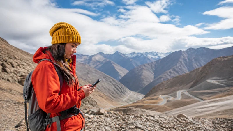

Kyrgyzstan’s mountains, dominated by the Tian Shan range covering over 90% of the country, present a genuinely varied connectivity picture — workable coverage at established passes and gateway towns, disappearing considerably on remote trekking routes and higher elevations.
Quick answer: Coverage at mountain gateway towns and established passes is generally workable from Kyrgyzstan’s main networks, particularly Beeline. Coverage thins considerably on remote trekking routes and higher elevations, where extended stretches may have no signal at all.
Top Kyrgyzstan eSIMs

Kyrgyzstan eSIM
Fixed
1 GB, 7 days€ 3.112 GB, 15 days€ 5.773 GB, 30 days€ 7.99Unlimited
Unlimited, 1 day€ 5.32Unlimited, 3 days€ 11.98Unlimited, 5 days€ 18.64
Commonwealth of Independent States eSIM
Fixed
1 GB, 7 days€ 7.992 GB, 15 days€ 13.313 GB, 30 days€ 18.19Unlimited
Unlimited, 1 day€ 8.43Unlimited, 3 days€ 22.63Unlimited, 5 days€ 36.38Coverage at mountain gateway towns
Towns like Karakol serving as trekking gateways maintain generally solid coverage given their tourism infrastructure, serving as good bases for exploring the surrounding mountains — the Karakol guide covers this specific town.
Coverage on established mountain passes
Well-traveled passes connecting major routes maintain some coverage given regular traffic, though this thins considerably compared to lowland areas.
Coverage on remote trekking routes
Extended treks into the Tian Shan’s more remote sections see coverage disappear almost entirely — the trekking guide covers connectivity expectations for this kind of extended mountain travel.
Preparing for remote mountain travel
Downloading offline maps, informing someone of your planned route, and carrying appropriate supplies matter more here than any connectivity workaround — the emergency connectivity guide covers safety planning for this kind of remote travel, and the offline maps guide covers this preparation for driving specifically.
Choosing a network for the mountains
Beeline generally offers the widest reach throughout Kyrgyzstan’s mountain regions — the mobile internet overview covers this comparison in more depth.
FAQ
Is mobile coverage good in Kyrgyzstan’s mountains?
Generally workable at gateway towns and established passes, considerably more limited on remote trekking routes.
Should I download offline maps before hiking?
Yes, given how quickly coverage can disappear once you’re on higher terrain.
Which network is best for the mountains?
Beeline generally, given its wider reach in Kyrgyzstan’s rural and mountainous regions.
Is there coverage on established mountain passes?
Some, given regular traffic, though considerably thinner than lowland areas.
Should I inform someone of my trekking route?
Yes, particularly for remote or extended mountain treks.
Are gateway towns like Karakol well covered?
Yes, generally solid coverage given their established tourism infrastructure.
Final Recommendation
Expect reliable coverage at gateway towns, and prepare for genuine offline stretches on remote trekking routes. See the trekking guide for trail-specific considerations.