


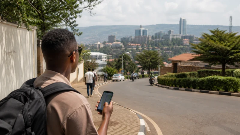

Google Maps works well in Rwanda’s cities and along the main highways, where road data is generally accurate and up to date — the gaps show up less in map quality and more in the mobile signal needed to load them in the first place, which makes offline setup worth doing before you leave Kigali rather than after.
Quick answer: Download offline map areas for each region you’ll visit while you still have strong signal in Kigali or another well-covered town, since Google Maps needs a live connection for real-time traffic and rerouting but can navigate using pre-downloaded maps even with no signal at all.
Top Rwanda eSIMs

Rwanda eSIM
Fixed
1 GB, 7 days€ 22.662 GB, 15 days€ 43.993 GB, 30 days€ 61.76Unlimited
Unlimited, 1 day€ 20.88Unlimited, 3 days€ 60.87Unlimited, 5 days€ 100.86
How accurate is Google Maps in Rwanda?
Major roads, town layouts, and points of interest in Kigali and other larger towns are generally well mapped and reliable. Accuracy drops somewhat in rural areas and around some national park access roads, where unpaved tracks or recent road changes aren’t always reflected — worth cross-checking with a guide or driver’s local knowledge on rural legs of a trip.
Downloading offline maps
Within the Google Maps app, searching a region and selecting the option to download it for offline use saves that area’s map data to your phone, allowing turn-by-turn navigation without any live connection. Doing this for Kigali, plus each region on your itinerary, before setting out from the capital covers most of what a typical trip needs.
Where this matters most
Offline maps matter least in Kigali itself, where coverage is strong throughout — see the internet in Kigali guide — and matter most on national park approaches, rural roads, lakeshore routes, and border crossings like the one through Gicumbi toward Uganda, where the rural mobile coverage guide describes signal dropping out for extended stretches.
What offline maps can’t do
Offline maps won’t show live traffic conditions, won’t reroute around a road closure you didn’t know about in advance, and won’t update if a route has changed since you downloaded it — for a country with generally light traffic outside Kigali, this is a smaller limitation than it would be elsewhere, but it’s worth knowing rather than assuming full functionality offline.
Alternatives worth having as backup
Apps like Maps.me, built specifically around offline use, are worth having installed as a backup in case Google Maps’ offline downloads don’t cover an area as well as expected, particularly for hiking routes like the Congo Nile Trail that fall outside typical driving navigation — a small extra precaution worth taking for any solo traveler without someone else to double-check the route.
Combining with a local SIM or eSIM
Since offline maps are a backup rather than a full replacement for connectivity, having a working SIM or eSIM for the stretches where signal does exist still matters — the two work together rather than one replacing the other.
FAQ
Does Google Maps work well in Rwanda?
Yes in cities and along main highways; accuracy and detail drop somewhat in rural and park-access areas.
How do I download offline maps before my trip?
Search the region in Google Maps and use the app’s option to save it for offline use while you still have a strong connection.
Will offline maps show live traffic?
No — offline maps handle navigation but not real-time traffic or rerouting.
Should I have a backup navigation app?
It’s worth it, especially for hiking routes — apps like Maps.me are built specifically for offline use.
Where in Rwanda is offline navigation most important?
National park approaches, rural roads, and lakeshore routes where mobile coverage is least reliable.
Do I still need mobile data if I have offline maps?
Yes — offline maps are a backup for gaps, not a full replacement for a working SIM or eSIM.
Final Recommendation
Download offline maps for your whole itinerary before leaving Kigali, and pair them with a working data connection for the stretches where signal holds up. See the Rwanda road trip guide for how this fits into planning a longer route.