


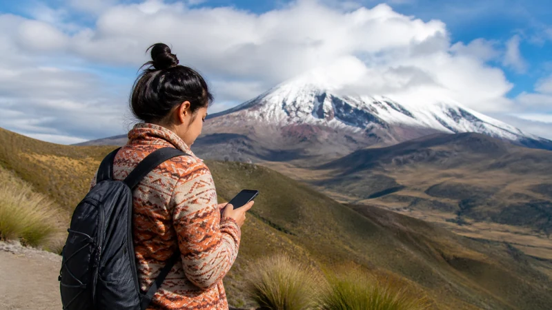

Ecuador Andes mobile internet can work well in cities and populated valleys, then change quickly on mountain roads, rural approaches and trails. Terrain and infrastructure matter more than altitude alone.
A high viewpoint may have usable signal while a lower valley has none, or the reverse. Plan each route around known populated checkpoints and keep navigation, accommodation details and meeting instructions offline.
NoveSIM Ecuador plans are data-only. They do not include an Ecuadorian number, conventional calls or SMS, although internet calls, messaging and travel apps work where mobile data is available.
Quick answer: Install and test the Ecuador eSIM in Quito, Cuenca or another connected base before travelling into the Andes. Download complete offline maps, save the final approach to rural accommodation, carry power and check current local conditions with the property or guide. Do not rely on signal at a mountain pass, volcano route or trailhead for navigation or emergency communication.
Top Ecuador eSIMs

Ecuador eSIM
Fixed
1 GB, 7 days€ 4.442 GB, 15 days€ 7.543 GB, 30 days€ 10.20Unlimited
Unlimited, 1 day€ 4.88Unlimited, 3 days€ 8.43Unlimited, 5 days€ 11.98
Ecuador Andes mobile internet by location
| Andean setting | Connection expectation | Offline priority |
|---|---|---|
| Large city or connected base | Best opportunity to activate, download and complete large transfers. | Next route, accommodation and transport details. |
| Populated valley or town | Service may be usable but can vary indoors and between networks. | Final approach and onward route. |
| Mountain road or pass | Signal can change rapidly with terrain and line-of-sight. | Full road corridor, alternatives and planned stops. |
| Rural lodge or hacienda | Confirm mobile network and property Wi-Fi directly. | Entrance, gate, meeting point and booking details. |
| Volcano route or hiking trail | Plan for weak or no terrestrial service. | Authorised route, return time and guide instructions. |
Why Andean signal changes so quickly
Mountain ridges, deep valleys and bends in the road can block radio paths. Distance from masts, settlement density, vegetation and the phone’s supported bands also affect registration.
Elevation is not a simple coverage indicator. Being higher does not guarantee service, and descending does not always weaken it. A coverage map should be treated as planning evidence rather than a promise for every slope, building or vehicle.
Review the Ecuador eSIM coverage guide and ask accommodation or guides which network has recently worked at the exact location.
Prepare in the last connected town
- Confirm the Ecuador eSIM is enabled and selected for mobile data.
- Enable Data Roaming for the travel line.
- Keep home-line Data Roaming and automatic data switching off.
- Test maps, messages and ordinary browsing with Wi-Fi off.
- Download the full map area and final approach.
- Save booking details, entrance instructions and contact information.
- Check current weather, route and official local guidance.
- Charge the phone and power bank before departure.
Use the Ecuador activation guide before leaving the connected base. Do not wait until a remote trailhead to discover that the profile was installed but never selected for data.
Offline navigation for valleys and mountain roads
Download a map covering the complete corridor, not only the destination pin. Rural accommodation entrances can be separated from the map label by private roads, gates or meeting points.
- Save coordinates and written directions supplied by the property.
- Store screenshots of the final turns or pickup point.
- Download translation languages and essential documents.
- Keep an alternative route only when it is approved and suitable.
- Test the map with Wi-Fi and mobile data switched off.
Offline maps may not include current closures, hazards or road restrictions. Recheck authoritative information whenever a reliable connection is available.
Mobile data for volcanoes and hiking areas
Do not use a data connection as the primary navigation or safety method on a volcano route or trail. Follow park, guide and local authority instructions, use the authorised route and record the planned return time.
Mobile data can help before the excursion—weather review, transport coordination and sending the itinerary—but service may disappear beyond the entrance or visitor area. Do not leave the route or group to search for signal.
Ask rural accommodation about connectivity
- Which mobile network has recently worked at the property?
- Is signal available inside rooms or only outdoors?
- Does the property offer guest Wi-Fi?
- Can Wi-Fi support video calls or only messages?
- Are power and internet available continuously?
- What arrival procedure should be followed without mobile data?
A property’s current answer is more useful than assuming that a nearby town and rural accommodation share the same radio environment.
Battery management in cold and exposed conditions
Cold conditions can temporarily reduce battery performance, while navigation, camera use, weak-signal searching and high screen brightness increase consumption. Keep the phone protected and carry a charged power bank.
Use aeroplane mode during a long known no-signal period when no mobile service is expected and safety arrangements do not require the phone to search for a network. Re-enable the Ecuador eSIM at the next planned checkpoint.
How much data is useful in the Andes?
Maps, messages, weather checks and bookings are relatively light. Photo backup, streaming, video calls and hotspot use are heavy. An itinerary with long offline excursions may use less mobile data than the number of days suggests.
Use the Ecuador data calculator and count connected bases and travel days. Complete large uploads over trusted accommodation Wi-Fi when its performance is confirmed.
Road travel through the Andes
For a multi-day drive, check important updates at planned towns or stops rather than while the vehicle is moving. The driver should not handle the phone; a passenger can manage the route, or the vehicle should stop safely.
The Ecuador road-trip connectivity guide covers vehicle power, passenger hotspot use, border transitions and route checkpoints.
If service disappears in a valley
If the eSIM worked in the previous town, loss of signal in a mountain section is more likely to be local coverage than a damaged profile. Keep network selection on Automatic and continue with the offline plan.
At the next safe stop, confirm the Ecuador line remains selected for data and Data Roaming is on. Refresh registration with aeroplane mode and restart if necessary.
Leave the APN automatic when data works. Use data.esim only when manual entry is required by NoveSIM instructions. Do not delete the installed eSIM because the activation code may not be reusable; follow the Ecuador troubleshooting guide if service does not return in a covered town.
Related Articles
FAQ
Does an Ecuador eSIM work throughout the Andes?
No. It can work where the supported partner network has coverage, but valleys, mountain roads, rural stays and trails can have weak or absent signal.
Does higher altitude provide better mobile signal?
Not necessarily. Terrain, line-of-sight, infrastructure, distance and the network matter more than elevation alone.
Can I rely on mobile data for a volcano hike?
No. Use authorised routes, offline information and the guide or park’s safety procedures. Treat mobile service as optional.
Should I delete the eSIM when signal disappears in a valley?
No. Keep the profile and test again in the next populated or covered area. The activation code may not be reusable.
Final Recommendation
Plan Ecuador Andes mobile internet around connected bases, populated checkpoints and offline mountain sections.
Test the eSIM before departure, download the full route, confirm rural property arrangements and protect battery power.
Keep Automatic network selection and the installed profile when terrain temporarily removes terrestrial signal.