


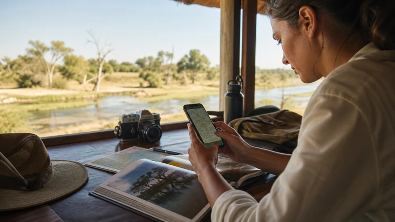

Botswana’s popularity with self-drive and overland travelers has produced a specific set of apps that go well beyond the usual travel-app checklist — because Google Maps, reliable as it is in towns, genuinely stops being useful the moment you’re off tarred roads and into the bush.
Top Botswana eSIMs

Botswana eSIM
Fixed
1 GB, 7 days€ 11.552 GB, 15 days€ 25.333 GB, 30 days€ 31.10Unlimited
Unlimited, 1 day€ 16.44Unlimited, 3 days€ 46.65Unlimited, 5 days€ 77.31
Tracks4Africa: the app self-drivers actually rely on
Tracks4Africa is built specifically for off-road navigation across Africa, compiled from real travel data rather than standard mapping sources, and it works fully offline once downloaded. This matters enormously in Botswana — one overlander whose GPS died mid-trip in the Kalahari found Tracks4Africa’s app successfully routed through Khutse South Gate and around Moremi’s wildlife management zones, terrain Google Maps simply doesn’t cover in useful detail. If your Botswana trip includes any self-driving into national parks or off tarred roads, this is worth having as more than a backup.
Why Google Maps alone falls short here
Google Maps performs well in Botswana’s towns and on main highways, but its offline download system wasn’t built for multi-day bush travel — the downloadable areas aren’t always large enough to cover an extended safari route, and detailed track-level data for park interiors is limited compared to a purpose-built tool like Tracks4Africa. Keep Google Maps installed for city and highway navigation, but don’t expect it to carry you through a multi-day self-drive safari the way it might for a road trip elsewhere.
iOverlander: finding a place to stay off the beaten path
iOverlander shows user-generated listings of campsites, lodges, and services, and works well for overlanders who want flexibility — deciding where to stay without needing a live connection to search. It’s commonly used alongside Tracks4Africa: navigation from one, accommodation options from the other, both functioning without needing signal once the relevant data is downloaded.
What these apps require before you leave signal
All of this depends on downloading the right data while you’re still connected — Tracks4Africa’s Botswana-specific map, iOverlander’s regional listings, and any Google Maps offline areas you want as backup. Do this in Gaborone, Maun, or another well-covered town rather than assuming you’ll manage it later; the Google Maps in Botswana guide covers the download process for that app specifically.
HERE Maps as an alternative
Some overland travelers in the region prefer HERE Maps for its offline capability, which some find more comprehensive for general navigation than Google’s offline system, at the cost of a fairly large initial download. It’s a reasonable alternative or supplement, though it doesn’t have Tracks4Africa’s overlander-specific detail for park tracks and bush routes.
None of these apps create signal where there isn’t any
It’s worth being clear about what these tools actually do: they provide navigation and information using data you’ve already downloaded, not a live connection. In the Okavango Delta, Central Kalahari, or deep in Moremi, none of these apps will give you anything beyond what you saved in advance — the Botswana safari connectivity guide covers what to prepare for regardless of which navigation app you’re using.
Setting up connectivity for the parts that do have signal
For the towns and connected stretches of your trip, a working eSIM matters for everything these offline apps don’t cover — checking messages, confirming bookings, general browsing. The Botswana eSIM installation guide covers getting set up before you fly.
FAQ
Is Google Maps enough for a Botswana self-drive safari?
For towns and highways, yes. For park interiors and bush tracks, it falls short — Tracks4Africa is the more reliable tool for that specific use.
What is Tracks4Africa, and do I need it?
An offline navigation app built specifically for African overland travel, with detailed track data for national parks and remote routes. Worth having if you’re self-driving beyond tarred roads.
How do I find campsites without an internet connection in Botswana?
iOverlander’s user-generated listings work offline once downloaded, making it a practical tool for planning stops without needing live signal.
When should I download these apps’ offline data?
While you’re still in a connected town like Gaborone or Maun — don’t wait until you’re already on the road with limited or no signal.
Final Recommendation
For a Botswana trip that includes any self-driving beyond the main towns, Google Maps alone isn’t enough — pair it with Tracks4Africa for off-road navigation and iOverlander for finding places to stay, both downloaded while you still have signal. None of these substitute for an actual connection, but together they cover far more of what a self-drive safari actually needs.