


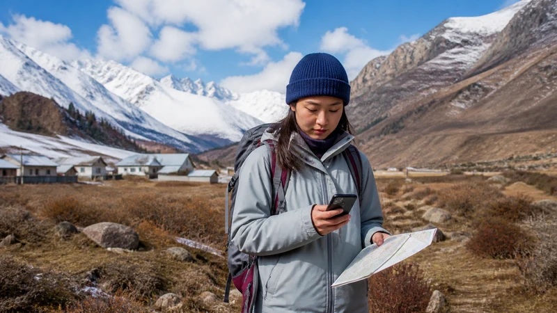

Given how much of Kyrgyzstan’s mountainous terrain lacks cellular coverage, emergency preparedness for remote travel here means planning around the assumption of disconnection rather than relying on a phone call for help.
Quick answer: Inform someone of your detailed itinerary and expected return before any remote trip, download offline maps, and consider a satellite communicator for genuinely remote trekking or horse trekking. Don’t assume you’ll be able to call for help in Kyrgyzstan’s mountains.
Top Kyrgyzstan eSIMs

Kyrgyzstan eSIM
Fixed
1 GB, 7 days€ 3.112 GB, 15 days€ 5.773 GB, 30 days€ 7.99Unlimited
Unlimited, 1 day€ 5.32Unlimited, 3 days€ 11.98Unlimited, 5 days€ 18.64
Commonwealth of Independent States eSIM
Fixed
1 GB, 7 days€ 7.992 GB, 15 days€ 13.313 GB, 30 days€ 18.19Unlimited
Unlimited, 1 day€ 8.43Unlimited, 3 days€ 22.63Unlimited, 5 days€ 36.38Informing someone of your itinerary
Before any trip into remote mountains, trekking routes, or areas like Song-Kul, leaving a detailed itinerary and expected return time with someone reliable is a genuine safety measure, not just a suggestion.
Satellite communicators for remote trekking
For extended treks or horse trekking into areas with no cellular coverage, a satellite communicator device provides a way to signal for help that a phone simply can’t in these areas — the trekking guide and horse trekking guide cover these specific activities.
Using a guide with local emergency knowledge
Trekking guides and horse trek operators often have established relationships with local communities and knowledge of nearest help in an emergency, valuable beyond any connectivity device.
Downloading offline maps as a baseline precaution
Even without an emergency, offline maps help avoid getting lost in areas without coverage — the offline maps guide covers this preparation for driving specifically, and the rental car guide covers a related scenario for self-drive travelers.
Understanding where coverage genuinely disappears
Knowing which parts of your itinerary will have no coverage at all helps you plan appropriately — the mountain connectivity guide covers this pattern across Kyrgyzstan’s terrain.
FAQ
Should I inform someone of my itinerary before remote travel?
Yes, a genuine safety measure given how much of Kyrgyzstan lacks coverage.
Should I bring a satellite communicator for trekking?
Worth considering for extended treks or horse trekking into areas with no coverage.
Can guides help in an emergency without connectivity?
Often yes, given their local knowledge and community relationships.
Should I download offline maps even for shorter trips?
Yes, a sensible baseline precaution regardless of trip length.
Should I assume I can call for help anywhere in Kyrgyzstan?
No, plan around the assumption of disconnection in remote mountain areas.
Is this more important for solo travelers?
Yes, particularly given the lack of a companion to seek help if needed.
Final Recommendation
Plan around disconnection as the default for remote travel, informing someone of your itinerary and considering a satellite communicator for extended treks. See the mountain connectivity guide for understanding coverage patterns.