


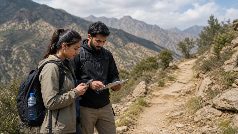

Saudi Arabia’s hiking scene has grown considerably as the country’s tourism sector has developed, spanning the cool, terraced mountains of Asir in the southwest to the dramatic desert canyons around AlUla — genuinely different terrain types that come with correspondingly different connectivity patterns.
Quick answer: Coverage is generally solid near trailheads and access roads across Saudi Arabia’s hiking regions, weakening at higher elevations and more remote trail sections. The Asir region’s mountains see the most pronounced elevation-based coverage drop-off; AlUla’s desert canyons follow a more varied pattern depending on proximity to the developed tourism core.
Top Saudi Arabia eSIMs

Saudi Arabia eSIM
Fixed
1 GB, 7 days3.50$2 GB, 15 days6.00$3 GB, 30 days8.50$Unlimited
Unlimited, 1 day3.50$Unlimited, 3 days9.00$Unlimited, 5 days12.00$
Hiking in the Asir mountains
Asir’s terraced hillsides and peaks like Jabal Sawda draw hikers seeking Saudi Arabia’s coolest climate and most dramatic mountain scenery, and coverage here follows a familiar elevation-based pattern — decent near villages and the cable car station, weakening on higher or more remote trail sections, similar to mountain hiking regions found worldwide.
Desert canyon hiking around AlUla
AlUla’s dramatic rock formations and canyon systems draw a different kind of hiker, and coverage here varies more by proximity to the developed tourism core than by elevation specifically — trails and viewpoints close to AlUla town and Hegra maintain reasonable signal, while more remote desert routes further out see more variable coverage, covered in the AlUla mobile internet guide.
The Hejaz mountains near Taif
The mountain terrain around Taif offers cooler-weather hiking uncommon elsewhere in Saudi Arabia’s hotter regions, and coverage here follows the same general pattern as other mountain areas — reasonable near the city and main access roads, less predictable on higher or more remote trails, covered in the Taif mobile internet guide.
Planning a multi-day hiking trip
For longer treks involving overnight stays away from towns, it’s worth checking ahead whether any accommodation along your route has connectivity, since remote hiking lodges and campsites can rely on limited power and connectivity infrastructure — not something to assume is available by default. The remote areas mobile internet guide covers this broader pattern across Saudi Arabia’s less-developed regions.
Downloading maps before you go
Given how much coverage varies by region and elevation, offline trail maps are worth setting up before any hike beyond a short, well-trafficked route near a main town — a sensible precaution regardless of which specific region you’re hiking in. The best SIM card guide covers choosing a network with rural and mountain coverage in mind before your trip.
Combining hiking with photography
Saudi Arabia’s dramatic mountain and desert landscapes draw considerable interest from photographers as well as hikers, and the Saudi Arabia photography trip guide covers planning around the coverage gaps at remote viewpoints that photographers specifically seek out.
FAQ
Is hiking coverage the same across all of Saudi Arabia’s regions?
No — Asir’s mountains see the most pronounced elevation drop-off, while AlUla’s desert canyons vary more by proximity to developed areas.
Will I have signal hiking in Asir?
Generally near villages and the cable car area, weakening on higher or more remote trails.
Is there coverage on AlUla’s desert hiking trails?
It varies — trails closer to the developed tourism core have better coverage than remote desert routes.
Do mountain lodges near hiking trails have WiFi?
Not always reliably — check with a specific property rather than assuming.
Should I download offline maps before hiking in Saudi Arabia?
Yes, for any route beyond a short, well-traveled trail near a main town.
Which region has the most reliable hiking coverage?
Areas closer to established towns and tourism infrastructure generally outperform more remote desert or high-elevation routes.
Final Recommendation
Expect coverage to track elevation and proximity to development more than any other factor across Saudi Arabia’s hiking regions — plan offline maps for anything beyond low, well-traveled routes. See the Asir region guide for the country’s most dramatic and least-covered mountain hiking.