


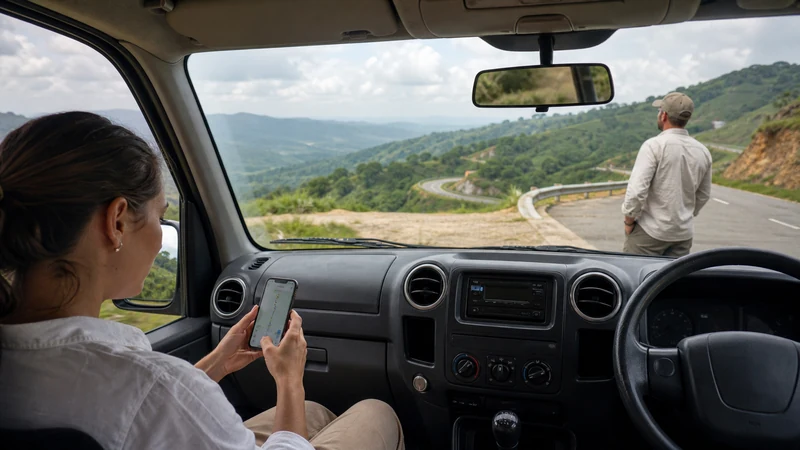

Google Maps works well in Uganda’s towns and cities — Kampala, Entebbe, Jinja, Fort Portal all have decent coverage and reasonably accurate road data. The gap shows up once you leave them: national park roads, rural districts and anywhere between towns are where signal gets thin and the app’s usefulness depends entirely on what you downloaded beforehand.
Top Uganda eSIMs


Where Google Maps is genuinely reliable
In and around major towns, both the map data and live features — traffic, search, transit where it applies — work about as well as anywhere else. Road names and points of interest are generally accurate in Kampala and other well-mapped areas, though smaller towns can have gaps or outdated details. Worth checking a location’s recent reviews or photos if something looks off, rather than assuming the pin is exactly right.
Where it starts to fall short
Once you’re on the road to a national park, a rural lodge, or a crater lake off the main route, two things happen: signal drops, and the underlying map data thins out too. Minor roads are sometimes missing, misaligned, or simply unnamed. This isn’t unique to Google Maps — it reflects how remote these roads are — but it means live navigation isn’t something to depend on for the last stretch of a rural journey.
Downloading offline maps properly
Google Maps supports offline areas natively, and it’s worth doing this a day ahead rather than at the last hotel with WiFi. Search your destination, tap the profile icon, and look for the offline maps option to select and download the area. A few things matter here:
- Download more than the destination pin — include the whole route you’ll be driving, since you might need to reroute or check a turn you didn’t expect.
- Offline maps don’t include live traffic or transit updates — only the base map and turn-by-turn directions along a route you’ve already calculated.
- Downloaded areas can expire after a set period, so check this again if your trip runs long or you download well in advance.
What offline maps won’t do
They won’t tell you about a road closure that happened yesterday, a new detour, or a lodge that’s moved its entrance since the map was last updated. For anything time-sensitive — a changed pickup point, a driver’s new location, updated directions from a lodge — you still need live data at some point before you lose signal, not after. This is the reason it’s worth confirming details while you’re still in a town with coverage, rather than assuming the offline map covers everything.
A saved pin isn’t the same as an address
A dropped pin can be wrong, or it might land near a property without indicating which entrance to use. Where possible, save the written address and a landmark alongside the pin, and if you’re relying on a driver or guide, agree on the meeting point with them directly rather than assuming the map pin is what they’ll use too.
Using Google Maps alongside mobile data
If you’re on a travel eSIM, maps and navigation are typically one of the lighter data uses — far less than video or large downloads — so it’s rarely the reason to buy a bigger plan. The bigger factor is how much live searching and rerouting you do versus following a pre-downloaded route. The Uganda data-use guide breaks this down if you’re deciding how much to buy.
Frequently asked questions
Does Google Maps work without internet in Uganda?
Only for areas you’ve downloaded in advance. Without a download, it needs a data connection to load maps, search, or calculate a route.
Are Google Maps directions accurate on rural Uganda roads?
Less reliable than in towns — minor roads are sometimes missing or misaligned. Treat directions on remote routes as a rough guide, and confirm with a driver or guide when possible.
How much data does offline navigation use?
Very little once the map is downloaded — offline navigation doesn’t need a live connection to work. The download itself is the main data cost, best done on WiFi.
Should I still bring a physical map or ask locals for directions?
On remote roads, yes — it’s common practice, not a sign the app has failed. Drivers and guides often know routes that aren’t well represented on any map.
Bottom line
Google Maps handles Uganda’s towns well and rural areas less predictably. Download the areas and routes you’ll need while you still have WiFi, save more than just a destination pin, and treat live data as something to use for confirming details before you lose signal — not something to count on having along the whole route.