


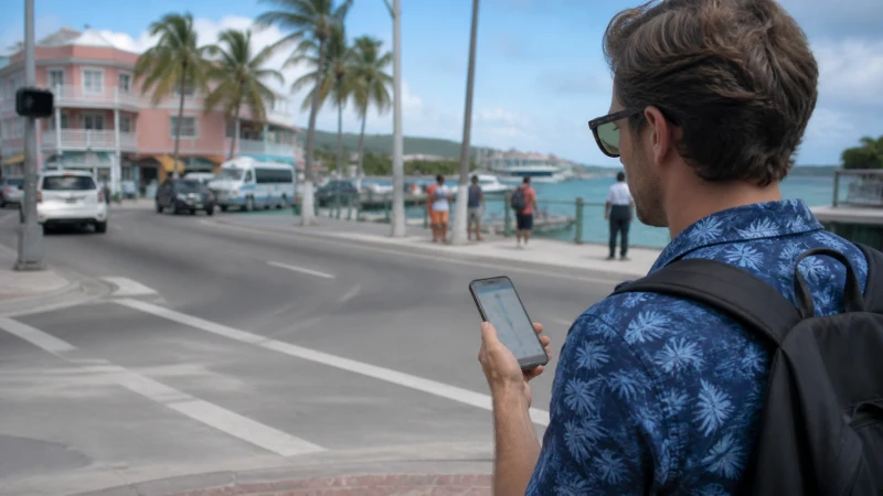

Google Maps works well in the Bahamas’ main cities, with a more variable experience once you’re navigating the Out Islands — understanding this pattern helps you use it efficiently rather than assuming uniform performance everywhere, and avoids the frustration of losing navigation exactly when you need it most.
Quick answer: Google Maps performs reliably in Nassau and Freeport for driving and walking directions. In the Out Islands, download offline maps for your specific destinations before you arrive, since live navigation may not work reliably once you’re away from a main settlement.
Top Bahamas eSIMs

Bahamas eSIM
Fixed
1 GB, 7 days€ 9.332 GB, 15 days€ 16.883 GB, 30 days€ 23.55Unlimited
Unlimited, 1 day€ 12.89Unlimited, 3 days€ 37.77Unlimited, 5 days€ 62.21
Google Maps in Nassau and Freeport
Both cities have detailed, accurate map data supporting typical navigation needs — the internet in Nassau guide and internet in Freeport guide cover connectivity in these areas more broadly.
Google Maps in the Out Islands
Coverage in the Out Islands follows a settlement-based pattern, and Google Maps’ live navigation works best where you have signal — the Out Islands coverage guide covers where this holds up and where it doesn’t.
Downloading offline maps
Before heading to an area with weaker or no coverage — a remote beach, a boat trip through the cays, a road trip along Eleuthera’s length — downloading the relevant offline map area in Google Maps lets navigation continue working even without an active connection.
Data use while navigating
Live navigation with real-time traffic and rerouting uses a steady but moderate amount of data — the how much data guide covers sizing a bundle that accounts for this alongside other daily use.
Navigating on the water
Google Maps’ land-based navigation doesn’t translate directly to boating between islands, and dedicated marine navigation tools are worth considering for actual boat trips — the marina mobile internet guide covers connectivity considerations specific to boating.
Combining offline maps with island hopping
For a multi-island trip, downloading offline maps for each destination before you leave a covered area is worth doing systematically rather than only when you remember — the island hopping guide covers this broader planning approach.
FAQ
Does Google Maps work well in the Bahamas?
Yes in Nassau and Freeport specifically — more variable in the Out Islands depending on coverage.
Should I download offline maps before visiting the Out Islands?
Yes, particularly for remote areas, boat trips, or longer road trips.
How much data does navigation use?
A steady, moderate amount, more with real-time traffic and rerouting active.
Does Google Maps work for boating between islands?
Not really — dedicated marine navigation tools are better suited to actual boat trips.
Should I download maps for every island on a multi-stop trip?
Yes, worth doing systematically before you leave a covered area for each destination.
Is there a difference between Nassau and Out Island map detail?
Generally yes, given more developed infrastructure and mapping data in the main cities.
Final Recommendation
Rely on live navigation in Nassau and Freeport, and download offline maps before heading to the Out Islands or any area with weaker coverage. See the Out Islands coverage guide for planning ahead.