


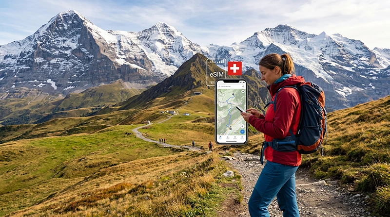

An eSIM can keep weather updates, train changes and messages within reach on a Swiss hiking trip, but it cannot promise a signal on every trail. The plan’s Swiss partner network matters more than a claim that the eSIM “covers Switzerland”.
Consider the whole day, not just the mountain destination: you may need data at the station, on the way to a trailhead and again when arranging the return journey. A map saved before departure must still work when the phone has no mobile service.
NoveSIM travel eSIMs provide data only. They do not supply a Swiss number or conventional calls and SMS, and an internet messaging app is not an emergency-communications plan.
Quick answer: Choose an eSIM whose current plan details name Switzerland and show a suitable partner network for your hiking area. Install it on reliable Wi-Fi, test the data line before leaving town, and download your route in the swisstopo app. Carry enough battery and a way to navigate without a signal.
Top Switzerland eSIMs

Switzerland eSIM
Fixed
1 GB, 7 days2.50$2 GB, 15 days3.50$3 GB, 30 days5.00$Unlimited
Unlimited, 1 day3.00$Unlimited, 3 days6.50$Unlimited, 5 days10.50$
Europe Extra eSIM
Fixed
1 GB, 7 days2.50$2 GB, 15 days4.00$3 GB, 30 days5.00$Unlimited
Unlimited, 1 day3.00$Unlimited, 3 days6.00$Unlimited, 5 days10.00$Europe+ eSIM
Fixed
1 GB, 7 days3.00$2 GB, 15 days4.50$3 GB, 30 days6.00$Unlimited
Unlimited, 1 day3.00$Unlimited, 3 days7.00$Unlimited, 5 days11.50$Europe Lite eSIM
Fixed
1 GB, 7 days2.50$2 GB, 15 days4.00$3 GB, 30 days5.00$Unlimited
Unlimited, 1 day3.00$Unlimited, 3 days6.00$Unlimited, 5 days10.00$What Should a Hiker Check Before Buying an eSIM?
Start with the route and travel dates. Check the plan’s validity, data allowance, activation rule and Swiss partner network. If the itinerary crosses into France, Italy, Germany or Austria, verify each country explicitly; a Switzerland-only plan does not become a cross-border plan because the trail is near a frontier.
Compare the named partner network with the locations where connection matters: the departure village, transport interchange, trailhead and accommodation. Switzerland’s federal broadband atlas shows expected mobile availability, but participation is voluntary and the map cannot guarantee reception behind a ridge or inside a tunnel. Our Swiss network guide explains how to check the operator rather than treating 5G as a blanket promise.
Prepare the Route While You Still Have Internet
The official swisstopo app can download map material along a selected tour with a buffer around the route. Complete the download over Wi-Fi, then open the map with mobile data switched off to confirm it is available. Download the return transport details and accommodation address too.
An offline map does not include every changing condition. Swisstopo says trail closures are among the layers not available offline, so check the latest route status and weather before setting out. The Swiss Alpine Club’s hiking safety advice also calls for a route suited to the group, suitable equipment and a plan for changing weather. Mobile data supports that preparation; it does not replace it.
For the broader question of valleys, resorts and mountain transport, see internet in the Swiss Alps. This page focuses on the phone and eSIM decision for a walking day.
Set Up the Data Line Before the Trailhead
- Confirm that the phone is unlocked and supports eSIM, and read when the chosen plan’s validity begins.
- Install the eSIM over dependable Wi-Fi before the journey, following its activation terms.
- Once in Switzerland, select that eSIM for mobile data and enable data roaming on the travel line if the plan requires it.
- Leave network selection on automatic initially and test a new webpage with Wi-Fi turned off.
- Keep unwanted data roaming and automatic data switching off on the home SIM.
The step-by-step phone menus are in our Switzerland eSIM activation guide. If the line registers but data does not load, the NoveSIM APN is data.esim when manual entry is needed. Do not delete the installed eSIM while troubleshooting unless support instructs you to.
What Will Use the Data Allowance?
Checking a forecast, a timetable or a text message is usually modest use. Cloud photo backup, video uploads, live-streaming and sharing a hotspot can consume far more. Save maps and large files before leaving Wi-Fi, then use your phone’s data counter during the trip. Our Switzerland data guide helps size an allowance by activity and days rather than assuming every hiker needs “unlimited” data.
A larger allowance cannot repair a coverage gap. Keep the phone charged, protect its battery from cold conditions and let someone know your planned route and return time when heading into remote terrain. If service disappears, first move to a safe location; do not stop in an exposed place to change phone settings.
Related Articles
- Internet in the Swiss Alps
- Swiss Mobile Networks for Tourists
- How to Activate a Switzerland eSIM
- How Much Data for Switzerland?
FAQ
Will an eSIM work on every Swiss hiking trail?
No. An eSIM uses a mobile network, and terrain can block reception even near a connected village. Check the partner network and route, then carry offline navigation.
Can I use the swisstopo map without a signal?
Yes, after you download the relevant map material and test it while offline. Current trail closures and some other changing information require a separate check before departure.
Should I buy unlimited data for a hiking trip?
Not automatically. Offline maps, timetables and messages may fit a modest allowance; heavy uploads or hotspot use change the calculation. Unlimited data does not improve weak radio coverage.
Can my NoveSIM eSIM make an emergency call?
NoveSIM travel eSIMs are data-only and do not provide conventional voice calls. Do not rely on an internet app or any mobile signal as the sole way to seek help in remote terrain.
Final Recommendation
Choose an eSIM for hiking in Switzerland by checking the actual partner network, route, validity and data terms—not by assuming that nationwide coverage means every trail is connected.
Install and test the line before leaving town, then save the swisstopo route and return information for offline use.
Take the charged phone as one part of a wider hiking plan: current conditions, suitable equipment and a safe route still matter when mobile service vanishes.