


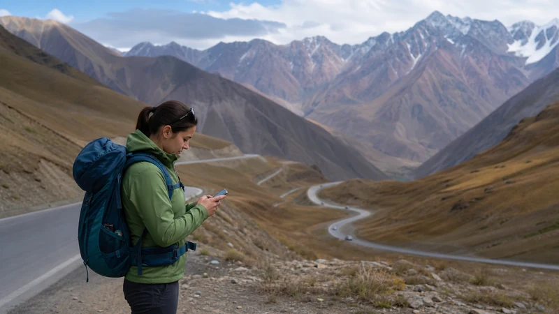

The route between Bishkek and Osh, crossing some of Kyrgyzstan’s most dramatic mountain scenery via passes over 3,000 meters, sees coverage vary considerably more than the country’s other major inter-city routes given the sheer scale of terrain involved.
Quick answer: Coverage is generally solid near towns along the route but thins considerably at higher mountain passes, particularly around Too-Ashuu and other high-elevation sections. This is one of Kyrgyzstan’s more variable routes for connectivity given its length and terrain.
Top Kyrgyzstan eSIMs

Kyrgyzstan eSIM
Fixed
1 GB, 7 days€ 3.112 GB, 15 days€ 5.773 GB, 30 days€ 7.99Unlimited
Unlimited, 1 day€ 5.32Unlimited, 3 days€ 11.98Unlimited, 5 days€ 18.64
Commonwealth of Independent States eSIM
Fixed
1 GB, 7 days€ 7.992 GB, 15 days€ 13.313 GB, 30 days€ 18.19Unlimited
Unlimited, 1 day€ 8.43Unlimited, 3 days€ 22.63Unlimited, 5 days€ 36.38Coverage leaving Bishkek
The initial stretch heading toward the mountains maintains solid coverage given proximity to the capital — the internet in Bishkek guide covers connectivity in the city itself.
Coverage at high mountain passes
Sections crossing Too-Ashuu and other high passes see coverage disappear at points, consistent with the broader pattern of Kyrgyzstan’s mountainous terrain — the mountain connectivity guide covers this challenge in more depth.
Coverage in the Fergana Valley approaching Osh
As the route descends into the Fergana Valley approaching Osh, coverage generally strengthens again given the valley’s denser population — the Osh guide covers the city itself.
Planning this journey’s length
This route typically takes a full day of driving given the distance and mountain terrain, worth planning rest stops and downloaded entertainment around given the coverage gaps at higher elevations — the offline maps guide covers preparing for this kind of extended journey.
Considering flying instead
Given the length and terrain of this route, some travelers choose to fly between Bishkek and Osh rather than drive, avoiding the connectivity gaps entirely for this leg of their trip — the road trip guide covers connectivity planning for those who choose to drive.
FAQ
Is mobile coverage good between Bishkek and Osh?
Variable — solid near towns, thinning considerably at higher mountain passes.
Is there coverage at high mountain passes on this route?
Often none at points, consistent with the broader pattern of mountainous terrain.
Does coverage improve near Osh?
Yes, generally strengthening as the route descends into the denser Fergana Valley.
How long does this drive take?
Typically a full day given the distance and mountainous terrain involved.
Should I fly instead of driving this route?
Some travelers do, avoiding the connectivity gaps and long drive entirely.
Should I download offline maps for this route?
Yes, given the genuine coverage gaps at higher mountain passes.
Final Recommendation
Expect variable coverage on this long mountain route, with genuine gaps at higher passes. See the mountain connectivity guide for this terrain’s broader pattern.