


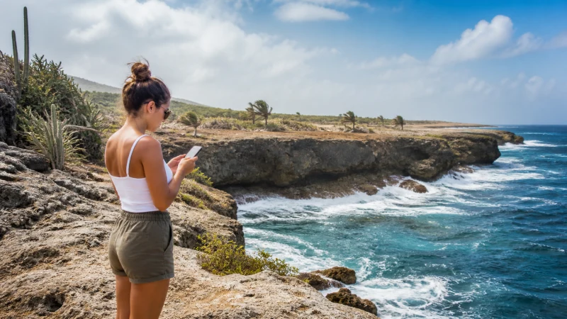

Aruba’s north coast, a rugged, windswept stretch of coastline battered by Atlantic waves and dotted with sites like the Alto Vista Chapel and the ruins of the collapsed natural bridge, is the island’s most remote and undeveloped edge — and mobile coverage here is correspondingly the most variable you’ll find anywhere on Aruba.
Quick answer: Coverage along the north coast is generally workable while driving the main road, from both Setar and Digicel, though it thins noticeably at more isolated lookout points and ruins away from the road itself. Setar’s wider rural reach gives it a small edge along this stretch.
Top eSIMs

Coverage along the main coastal road
The road tracing Aruba’s north coast, connecting sites from the Bushiribana gold mill ruins to Alto Vista Chapel and beyond, generally maintains workable signal for most of its length, given that it’s the primary route linking these attractions.
Coverage at Alto Vista Chapel
This small, historic chapel, a peaceful stop along the coastal drive, maintains reasonable coverage given its status as a well-visited landmark despite its remote setting.
Coverage at the natural bridge ruins and Andicuri
The site of Aruba’s collapsed natural bridge, along with the wild, rocky beach at Andicuri nearby, sit in some of the coast’s more isolated stretches — coverage here is more limited, and treating a visit to these specific spots as likely offline is the realistic approach, similar to the pattern described in the rural coverage guide.
Why this isn’t the place to sort out your eSIM
The north coast has no shops, no kiosks, nothing resembling a place to buy or fix connectivity — whatever eSIM or SIM setup you’re relying on needs to be fully working before you turn off the main highway, since the whole appeal of this drive is how far it feels from anything resembling infrastructure. The phone compatibility guide is worth checking well before this trip, not during it.
Driving the coast as part of a wider road trip
The north coast is commonly combined with Arikok National Park and other stops on a longer island circuit — the Aruba road trip guide covers planning connectivity across this kind of extended route, and the Arikok National Park guide covers the adjacent protected area.
Downloading maps before you set out
Given how much coverage varies along this stretch, downloading offline maps for the entire coastal drive before you leave a covered area is worth doing rather than assuming — the Google Maps in Aruba guide covers setting this up properly.
A destination for photography
The north coast’s dramatic, rugged scenery draws photographers specifically, and it’s worth backing up any shots taken here as soon as you’re back within coverage, rather than assuming you’ll get another chance at the same light — a consideration also covered in the general spirit of the best network for tourists guide when weighing coverage extent against convenience.
FAQ
Is there mobile coverage along Aruba’s north coast?
Generally workable on the main road, more limited at isolated lookout points and ruins away from it.
Is there signal at Alto Vista Chapel?
Yes, reasonable coverage given its status as a well-visited landmark.
Is there coverage at the natural bridge ruins?
Limited — treat a visit to this remote site as likely offline.
Which network is best for the north coast?
Setar generally, given its wider rural reach along this remote stretch.
Should I set up my eSIM before or during this drive?
Before, definitely — there’s nowhere along the north coast to sort out connectivity issues.
Should I download offline maps for the north coast?
Yes, given how much coverage varies along this particular stretch of the island.
Final Recommendation
Confirm your connectivity is fully working before you set out, and expect coverage gaps at the coast’s most isolated sites. See the Aruba road trip guide for planning this drive as part of a longer route.