


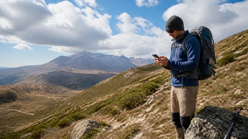

Armenia’s mountainous terrain makes it a genuinely rewarding hiking destination, but the same terrain that makes the scenery spectacular also means mobile coverage on trails is considerably less reliable than in towns — worth planning around rather than assuming.
Quick answer: Coverage on Armenia’s hiking trails is generally limited to nonexistent once you’re away from a trailhead near a settlement, regardless of which network you use. Download offline maps, inform someone of your route, and treat any signal on a hike as a bonus rather than something to rely on.
Top Armenia eSIMs

Armenia eSIM
Fixed
1 GB, 7 days7.50$2 GB, 15 days12.00$3 GB, 30 days16.00$Unlimited
Unlimited, 1 day8.00$Unlimited, 3 days19.50$Unlimited, 5 days31.00$
Commonwealth of Independent States eSIM
Fixed
1 GB, 7 days9.00$2 GB, 15 days15.00$3 GB, 30 days20.50$Unlimited
Unlimited, 1 day9.50$Unlimited, 3 days25.50$Unlimited, 5 days41.00$Why trail coverage is so limited
Mobile infrastructure follows population density, and hiking trails by definition move away from settlements into less populated terrain — this is true across virtually every hiking region in Armenia, not a flaw specific to any one network or area.
Popular hiking areas and their coverage patterns
Dilijan National Park’s forested trails, the areas surrounding Tatev and Syunik’s mountains, and paths near Jermuk all follow the same general pattern — solid signal near the trailhead or town, thinning quickly once you’re genuinely on the trail. The Dilijan guide, Syunik guide, Tatev guide, and Jermuk guide cover these specific areas.
Downloading offline maps before you set out
Since live navigation may not work reliably once you’re on a trail, downloading offline maps for your entire route while you still have signal at the trailhead is essential rather than optional.
Safety precautions for remote hiking
Informing someone of your planned route and expected return time, carrying a paper map as backup, and understanding that you may not have any way to call for help on more remote trails are all sensible precautions given how limited coverage genuinely is in Armenia’s mountains.
Choosing a network for hiking trips
VivaCell-MTS’s broader rural reach makes it a marginally better choice near trailheads and in the surrounding countryside, though this advantage disappears once you’re genuinely deep into remote terrain where no network reaches — the best network for tourists guide covers this comparison.
Multi-day treks and remote regions
Longer treks through Syunik or Lori’s more remote stretches should be planned with the assumption of no coverage for extended periods — the remote villages guide covers the broader pattern this fits into.
FAQ
Is there mobile coverage while hiking in Armenia?
Generally limited to nonexistent once away from a trailhead — plan for being offline.
Should I download offline maps before hiking?
Yes, essential given how unreliable live navigation is on most Armenian trails.
Should I tell someone my route before a hike?
Yes, a sensible precaution given how limited coverage is for emergency calls.
Which network is best for hiking trips?
VivaCell-MTS marginally, near trailheads, though this matters less once you’re deep on a remote trail.
Are multi-day treks especially coverage-limited?
Yes, particularly in remote regions like Syunik or Lori’s more isolated stretches.
Should I carry a paper map as backup?
Yes, a sensible precaution given how unreliable digital navigation can be without signal.
Final Recommendation
Download offline maps and inform someone of your route before any hike, treating trail coverage as unreliable by default. See the remote villages guide for the broader pattern of Armenia’s rural coverage.