


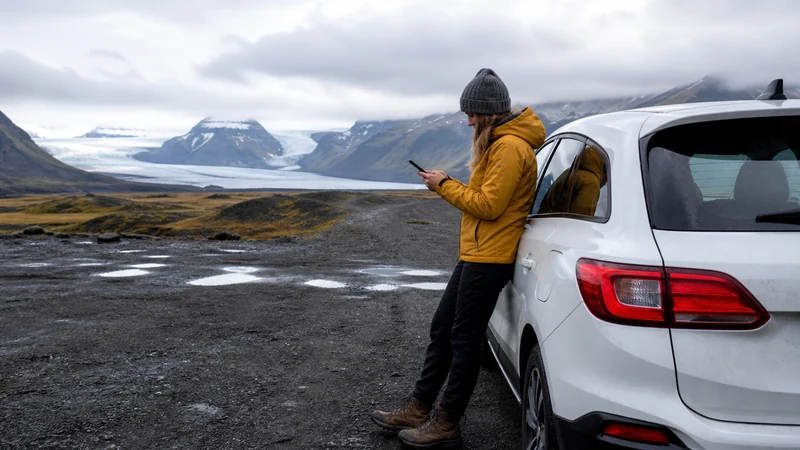

Iceland eSIM coverage is strongest where an authorised partner network has radio service and the phone supports the required bands. A national population percentage is not a route guarantee: most people live in a small part of the country, while travellers often drive through sparsely populated terrain.
Use coverage maps at the scale of individual roads, accommodation and planned stops. Town coverage, continuous driving coverage and service inside a building are three different questions.
NoveSIM currently lists potential access through Icelandic partner networks on its Iceland products, but the exact plan, device, location and live network conditions determine the connection.
Quick answer: Open the current maps for the networks included by your specific plan, trace every driving stage rather than checking Iceland as a whole, and mark where maps, bookings and safety information must remain available offline.
Top Iceland eSIMs

Iceland eSIM
Fixed
1 GB, 7 days2.50$2 GB, 15 days4.00$3 GB, 30 days5.00$Unlimited
Unlimited, 1 day2.50$Unlimited, 3 days6.00$Unlimited, 5 days9.00$
Europe Extra eSIM
Fixed
1 GB, 7 days2.50$2 GB, 15 days4.00$3 GB, 30 days5.00$Unlimited
Unlimited, 1 day3.00$Unlimited, 3 days6.00$Unlimited, 5 days10.00$Europe+ eSIM
Fixed
1 GB, 7 days3.00$2 GB, 15 days4.50$3 GB, 30 days6.00$Unlimited
Unlimited, 1 day3.00$Unlimited, 3 days7.00$Unlimited, 5 days11.50$Europe Lite eSIM
Fixed
1 GB, 7 days2.50$2 GB, 15 days4.00$3 GB, 30 days5.00$Unlimited
Unlimited, 1 day3.00$Unlimited, 3 days6.00$Unlimited, 5 days10.00$Population Coverage Is Not Land Coverage
An operator statement such as “covers more than 98% of the population” describes people reached, not 98% of Iceland’s surface or every tourist road. Reykjavík, towns and inhabited coastal areas carry much of the population. Highlands tracks, deep valleys and some fjord terrain can remain difficult even when the national headline looks excellent.
SafeTravel notes that coastal phone coverage is generally good but also identifies limited-coverage spots such as narrow canyons and deep valleys. That is a useful planning distinction: strong service across much of an itinerary can coexist with local dead zones.
Audit the Route in Four Passes
- Plan access: identify the networks the exact eSIM product may use; do not assume every Icelandic operator is included.
- Road: zoom into each daily route on the relevant official operator maps, including detours and the final approach to accommodation.
- Stops: check trailheads, attractions, meeting points and overnight locations separately from the road line.
- Fallback: decide what must be downloaded before each uncertain stage and where the next dependable connection is likely.
Use the current Iceland eSIM product details for plan-level network information. A traveller comparing the domestic operators should follow the route-based Iceland network method, not a universal winner.
What Changes the Map Result on the Ground?
| Variable | Practical consequence |
|---|---|
| Valleys, ridges and fjords | A nearby mast can be blocked even when a broader map cell is coloured. |
| Vehicle or building | Construction and position can weaken a usable outdoor signal. |
| Phone radio bands | A compatible eSIM phone may still lack a band useful in a particular area. |
| Congestion and maintenance | Signal bars can remain while speed or service quality changes. |
| Partner authorisation | A network visible in manual scan can reject a plan that is not permitted to register. |
Plan Different Itineraries Differently
A Reykjavík break needs little remote-coverage planning. A Ring Road circuit needs a daily online/offline handoff. The Westfjords require attention to fjord geography and long distances, while the Highlands demand a safety plan that does not assume mobile service at all.
Download offline maps, coordinates, bookings and current road or weather information before leaving a reliable connection. Cellular service is useful for updates but is not emergency equipment.
Related Articles
- Choose Mobile Internet for Iceland
- Prepare Offline Maps for an Iceland Road Trip
- Set Realistic 5G Expectations in Iceland
FAQ
Will an Iceland eSIM work everywhere?
No. Service depends on authorised network access, the device, terrain and local conditions. Prepare for gaps on remote routes.
Does a coloured coverage map guarantee indoor service?
No. Maps are planning models and often describe outdoor conditions; building materials and exact position can change the result.
Can manual network selection create coverage?
No. It can test another authorised network that is already detectable, but it cannot create a signal where none exists.
Final Recommendation
Judge coverage at road-and-stop scale using maps for networks included by the exact plan.
Separate population claims from land coverage and treat map colouring as guidance rather than a promise.
Design every remote stage so navigation, bookings and safety decisions remain possible without mobile data.