


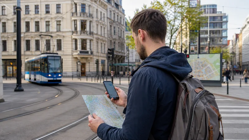

Navigation apps are one of the more data-dependent tools a traveler relies on in Poland, and while coverage is strong enough nationwide that most routes work without issue, a few specific situations are worth planning around.
Quick answer: Google Maps and similar navigation apps work reliably throughout Poland’s cities, towns, and main highways. Download offline maps before heading into rural areas, the Tatra Mountains, or anywhere your route might briefly lose signal, so navigation keeps working even without an active connection.
Top Poland eSIMs

Poland eSIM
Fixed
1 GB, 7 days€ 1.762 GB, 15 days€ 3.523 GB, 30 days€ 4.40Unlimited
Unlimited, 1 day€ 2.20Unlimited, 3 days€ 4.84Unlimited, 5 days€ 7.93
Europe Extra eSIM
Fixed
1 GB, 7 days€ 2.202 GB, 15 days€ 3.523 GB, 30 days€ 4.40Unlimited
Unlimited, 1 day€ 2.64Unlimited, 3 days€ 5.28Unlimited, 5 days€ 8.81Europe+ eSIM
Fixed
1 GB, 7 days€ 2.642 GB, 15 days€ 3.963 GB, 30 days€ 5.28Unlimited
Unlimited, 1 day€ 2.64Unlimited, 3 days€ 6.16Unlimited, 5 days€ 10.13Navigation in cities
Warsaw, Krakow, and Poland’s other major cities have dense, reliable coverage that supports real-time navigation without any special preparation — the Google Maps in Poland guide covers this specifically.
Navigation on highways and main roads
Poland’s highway network connecting major cities maintains consistent coverage from all four networks, making a self-drive trip straightforward for continuous navigation — the road trip guide covers planning a longer route with this in mind.
Navigation in rural and mountain areas
Coverage thins out in more remote rural stretches and higher mountain elevations, particularly in the Tatras and Bieszczady — downloading offline maps for these specific areas before you set out means navigation continues working even if signal drops out temporarily, similar to the general pattern covered in the mobile networks in Poland guide.
Choosing a network for reliable navigation
If navigation is central to your trip, particularly for a road trip or hiking itinerary, Orange’s stronger rural coverage makes it a sensible default over the other three networks — the best SIM card guide covers this comparison, and the best eSIM for Poland guide covers the same consideration for an eSIM plan.
How much data navigation actually uses
Real-time navigation with traffic data and rerouting uses a steady but moderate amount of data — the how much data guide covers sizing a bundle that accounts for this alongside other daily use, particularly important for a longer road trip.
Navigation near Poland’s borders
Near crossings with Germany, Czechia, Slovakia, Ukraine, or Lithuania, your phone might briefly register on a neighboring network — the manual network selection guide covers correcting this if navigation suddenly seems less reliable right at a border.
Combining navigation with public transport
In cities, navigation apps often integrate directly with public transport schedules — the public transport guide covers this integration and dedicated local transit apps that sometimes offer more detail.
Navigation for hiking and outdoor trips
Beyond road navigation, hikers heading into Poland’s mountain regions should treat GPS navigation the same way as any offline-first activity — download trail maps in advance rather than relying on a continuous connection, since the most scenic routes are often exactly where coverage is weakest.
FAQ
Is navigation reliable throughout Poland?
Yes, in cities and along main highways — coverage thins in more remote rural and mountain areas.
Should I download offline maps before a road trip?
Yes, particularly for rural stretches or mountain regions where signal can be weaker.
How much data does navigation use?
A steady, moderate amount, more with real-time traffic and rerouting active.
Can navigation get confused near Poland’s borders?
Occasionally, if your phone registers on a neighboring network — manual network selection fixes this.
Does navigation work with public transport in Poland?
Yes, Google Maps integrates with major city transit systems.
What network is best for navigation in remote areas?
Orange generally has the widest rural coverage among Poland’s four networks.
Final Recommendation
Navigation works reliably throughout Poland’s cities and highways — download offline maps before any trip into rural or mountain areas. See the road trip guide for planning a longer route.